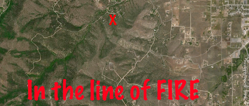
“X” marks our property, Cayuse Crest, which borders BLM land and sits on the outskirts of Herriman, Utah
From UtahOutsider’s perspective, it seems folks here take the “Worry Later” approach when it comes to the state’s fast-moving development and population growth.
But behind the scenes, especially within certain pockets of government, there is plenty going on. Read one planning official’s comments here.
UtahOutsider is dedicating a three-part series, In the Line of Fire, to report on one aspect of human encroachment and wild lands. Specifically, we’re looking at a Wildland Urban Interface project completed right here at Cayuse Crest, my 10-acre home office in the Oquirrh mountain foothills.
Why does it matter?
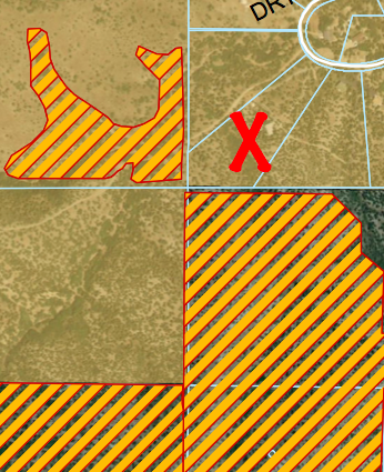
“X” marks our property. Yellow-orange stripes indicate BLM land
With the state’s population expected to double to six million by 2050, more and more developments will bump up against the wilderness. Add current and predicted drought conditions to the mix and we’re sitting in a tinderbox: lots of people next to wildfire-ready, heavily-forested land.
To tackle this specter, government agencies have been working with communities to mitigate the risk and impact of wildfires. For the most part, that means getting rid of fuel, ie, cutting down trees or limbing them so fires don’t spread as quickly or as intensely.
The state Department of Natural Resources, funded with a federal grant from the Western Forestry Leadership Coalition, is charged with helping communities “reduce hazardous fuels, restore fire-adapted ecosystems, and improve community fire planning,” according to Brianna Binnebose, the DNR’s Wildland Urban Interface Coordinator.
I met Binnebose at a Fuels Reduction meeting of Hi Country Estates, the homeowners’ association we live in.
Our area has had its share of wild fires. In 2010 and 2012, fires consumed a total of 5,000 acres and forced evacuations of about 1,600 residents. Last year, we had a small fire within our small HOA community of a hundred homes.
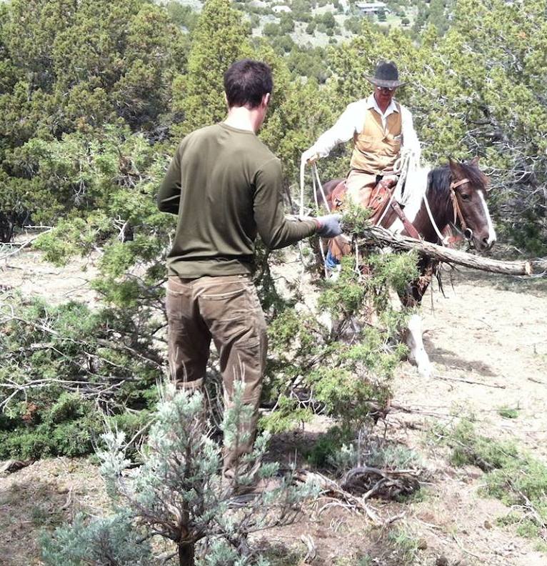
Our own “fuel reduction” project. Spring, 2014. Horses helped haul juniper to chipper.
Hi Country has its own fire plan, a 51-page document that includes risk assessments of each home, evacuation plans, resource lists, and actionable items.
I was interested in learning more about protecting our homes and wanted to know how it could be tackled on a community-wide scale. And if so, how would Cayuse Crest fit in?
As I learned, several factors made our property a perfect fit for fuels reduction work:
- We abut Bureau of Land Management land that’s already been treated with fuels reduction (ie, more than half of the junipers have been removed).
- I was willing to offer our property as demonstration area to show interested homeowners how fuel treatments would look on an entire parcel.
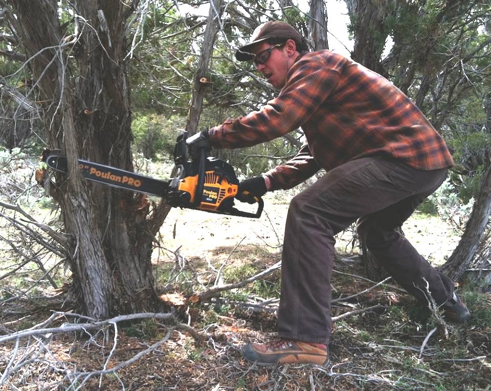
- As an individual homeowner, we’d already dedicated significant resources to
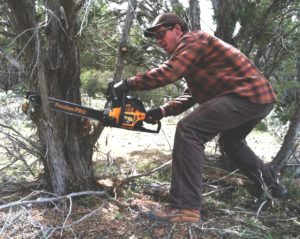
Our informal fuel reduction project.
fuel reduction. That “in kind” initiative started a year ago, when five of us worked to reduce the number of junipers in the “pasture.” The pasture is really just juniper, sage, and rock on a rugged parcel of gully and ridge. It was an exhausting week. We worked non-stop with chainsaw, a rented chipper and two horse-and-rider pairs hauling huge bundles of juniper out of the pasture. Yet, it seemed to put nary a dent in the juniper density.
At the fuel reduction meeting, I learned in hindsight that our efforts would pay off.
Part II